I’ve had the fortune of being a part of high performing teams my entire career, and Maxar is no exception. When I started working at my first federal contracting job, my manager said, “I need you to do your job; I need you to be resourceful in doing your job on your own; and I need you to put the team first.” Those three things have stuck with me ever since, and I ask the same of the amazing people working on my team here at Maxar.
Maxar is organized to enable the entire geospatial intelligence lifecycle. Our Sensor and Ground Modernization line of business sources geospatial data; our Data to Insight line of business enriches that data to start to create information; and the Agile Intelligence line of business I’m responsible for analyzes and ultimately reveals insights from enriched source data.
Our job is to help national security analysts, operators and policymakers apply commercial-grade technologies, such as machine learning, data analytics, crowdsourcing, agile development and other emerging technologies, to reveal insights as quickly and precisely as possible.
Supporting vitally important missions
The missions we support on behalf of our customers are vitally important: national security, humanitarian efforts and environmental concerns. We are helping to Build a Better World each and every day, which really excites me and my colleagues. To reach that overarching goal, my vision for the Agile Intelligence line of business spans several areas.
First, we must continue to help our customers make better and faster decisions. This means providing more information, supporting data and on demand like analysis to help expedite decision-making.
Second, my vision for Agile Intelligence is to be the go-to partner for our customers’ most important geospatial requirements. We will achieve this by delivering more from our business in our unique, unclassified and open environments. We leverage our expertise, publicly available data, commercial-grade technology and open source software on behalf of our customers all increasingly interested in this approach
Finally, one of my goals is to bring additional value to our clients by integrating organic capabilities, such as Goethite, AFIX and Human Landscape, as well as valuable solutions from our complementary partner ecosystem.
Wading through a data deluge
We’re in the midst of a virtual explosion of available data, including public, private, crowdsourced and government data. Without efficient and effective technologies to process and analyze this abundance of data, it would be worthless because there’s not enough manpower to glean any meaningful insights. Fortunately, we have talented team members with access to incredible technology that makes it faster, easier and more precise to reveal those insights using the latest in machine learning, artificial intelligence and agile frameworks to support our customers’ mission. We apply these technologies to deliver several key capabilities:
- Predictive analytics
- Interactive mission planning
- Advanced data visualization
- Advanced tradecraft and agile intelligence
To apply these capabilities most effectively, our business deploys diverse teams—made up of people with a broad span of backgrounds, skills and interests—selected to best support our customers based on their geospatial presence.
Predictive analytics
Our team helps analysts, data-collection planners and mission operators better understand where, when and why critical events are likely to occur, using technology such as DataHub, Signature Analyst, Aquaculture, Human Landscape, GeoHive and PULSE, among others. These solutions enable our customers to anticipate and focus their scarce resources on the specific areas with greatest intelligence value, often providing early warning signs to make decisions more quickly and improve response times.
Interactive mission planning
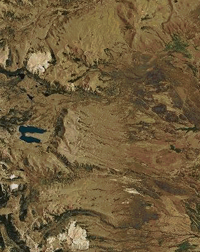
We harness the power of cloud computing to create reliable, scaled analytic outputs for any land or sea environment, dramatically reducing the production time needed for terrain analytics. The xTerrain system leverages the best available computing resources to rapidly create incredibly accurate terrain products, showing mission planners and war-fighters the best way to safety and other mission objectives.
Advanced data visualization
By completely immersing an individual in his or her data, we greatly enhance situational awareness within combat operations, accelerating users’ ability to ingest information over space and time. 3D city models powered by Vricon display large volumes of accurate data representing any region in the world, enabling in-depth area knowledge without putting boots on the ground and in harm’s way.
Advanced tradecraft and agile intelligence
Our agile teams provide situational context via data, multidisciplinary expertise and tools to better address the operational tempo of today’s threat profile, extending far beyond traditional analysis. We call this team RATPAC, which stands for Rapid Action Technology and Predictive Analytics Cell. The RATPAC’s amazing capability involves Radiant Solutions team members who come together to solve challenging, customer requirements. Many of the team members do not hold security clearances, but in applying some of our most advanced technology solutions to publicly available data, this team is able to identify important locations previously unknown in just a few days. That’s sensitive, valuable insight we help reveal in re-imagined ways.
By staying curious and being creative with publicly available data, we revealed insights that could have taken weeks, months or even years to uncover through traditional means. Our purpose is to Reveal Insight Where and When it Matters, and we are in the early days of our exciting journey.